
Meet Valerie Thomas, the inventor and scientist who launched the longest-running satellite program imaging Earth’s surface
During Thomas's three-decade career at NASA, she connected scientists with the data they need to understand our planet
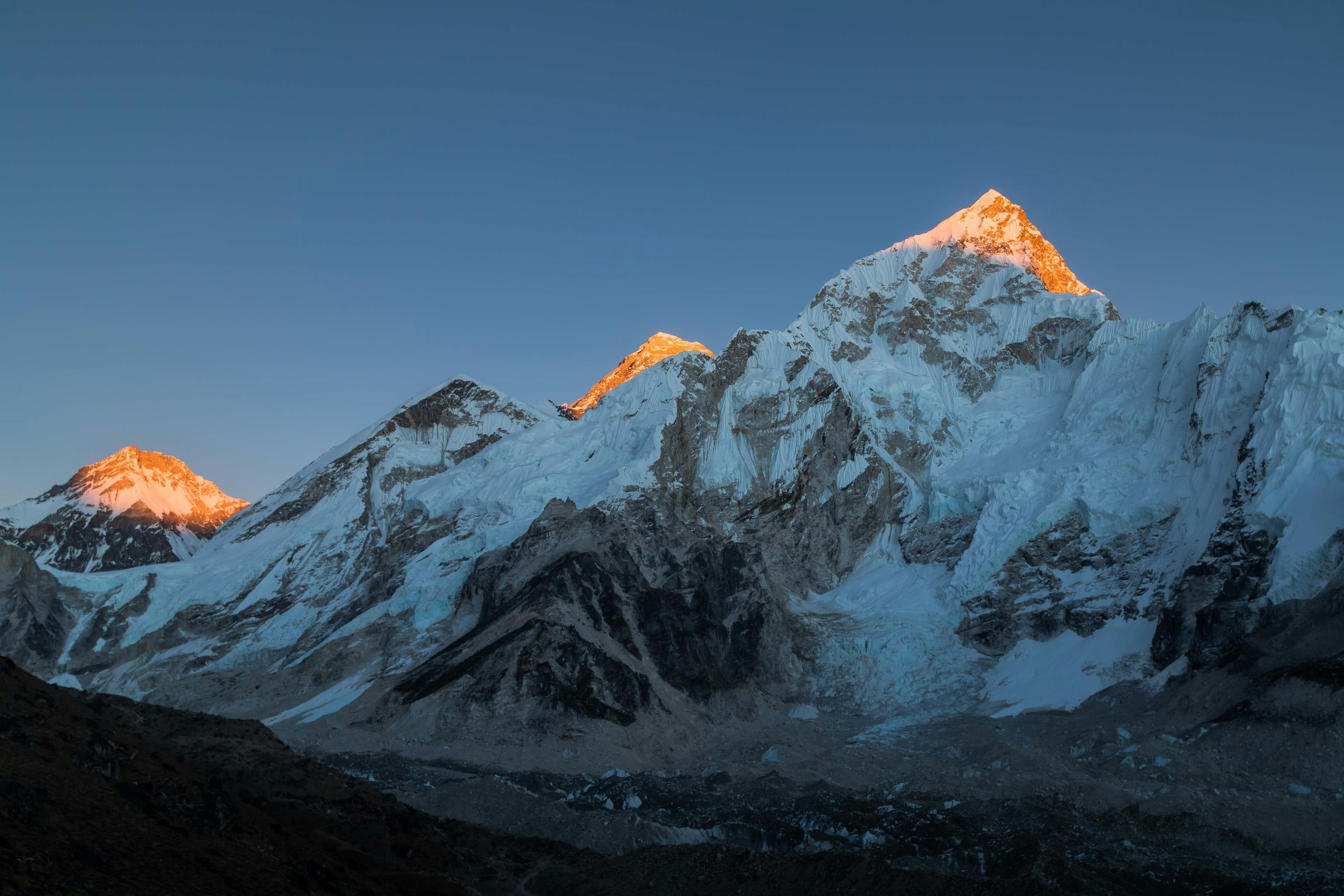
Researchers discover a new high-altitude Himalayan lake — and its waters are red
The reddish hue of the lake is likely due to iron-rich minerals in the area
Scientists use GPS satellites to track Greenland ice sheet melting
Scientists could already measure soil moisture, wind velocities, snow depth with GPS satellites. Now they can also monitor melting ice.
