To predict the future of Southern California's seas, scientists are looking to the past
The west's dramatic coastlines have masked rising tides, but that doesn’t mean the future is dry

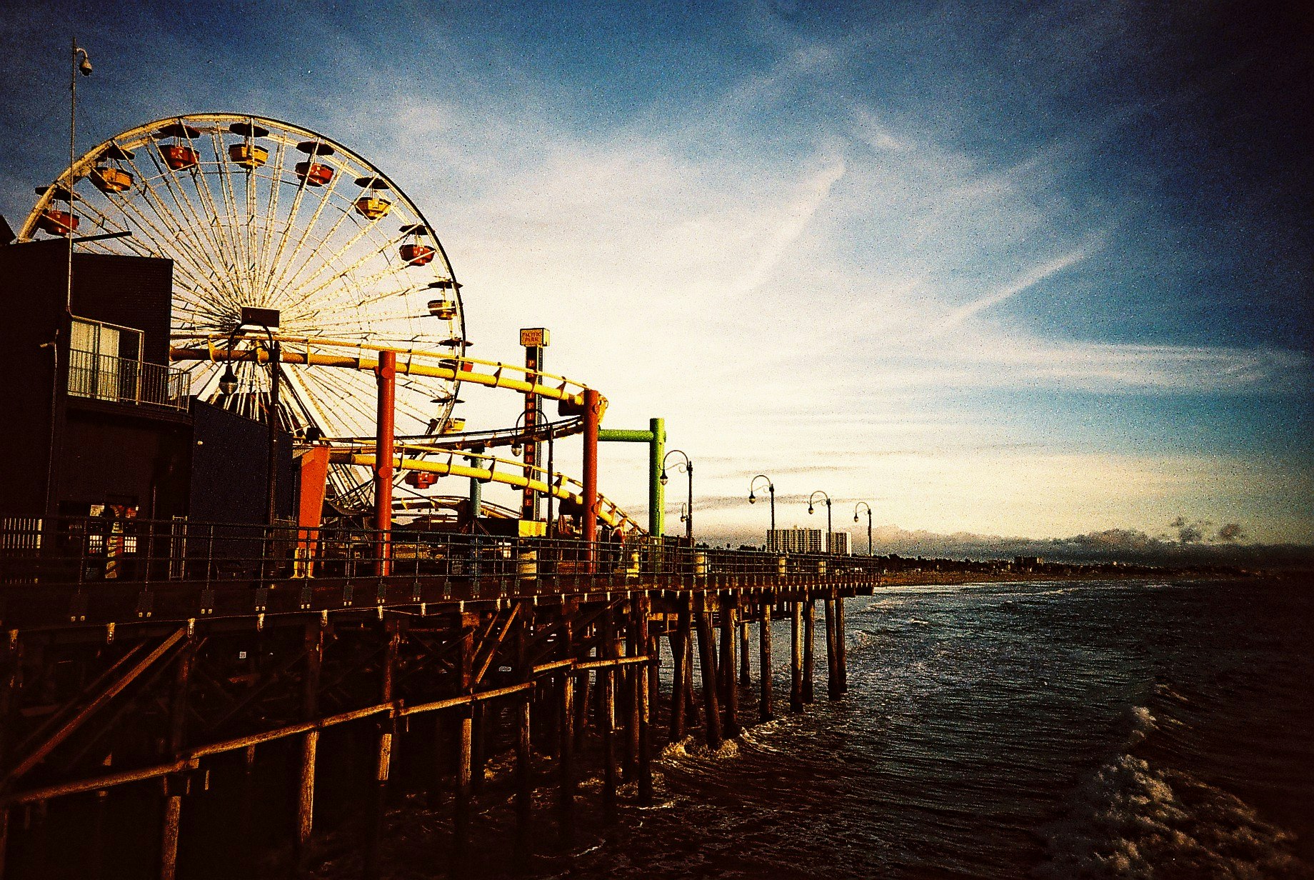
Much of the concern in the US about how much climate change will cause oceans to rise has been focused on the East Coast, neglecting Southern California, home to two of the country's five most populous cities.
The East Coast has been the focus of sea level rise studies in the past because of the gentle rise of the continental slope there. In that part of the country, a small rise in sea level can cover a much larger area, and we know just by looking at these slopes that cities on the East and Gulf Coasts of the United States – Miami, New Orleans, and New York City, for example – will be more heavily impacted by sea level rise than their western counterparts. But while the West's dramatic coastlines have masked the effects of sea level rise up to this point, that doesn’t mean that the West Coast will get off free and clear.
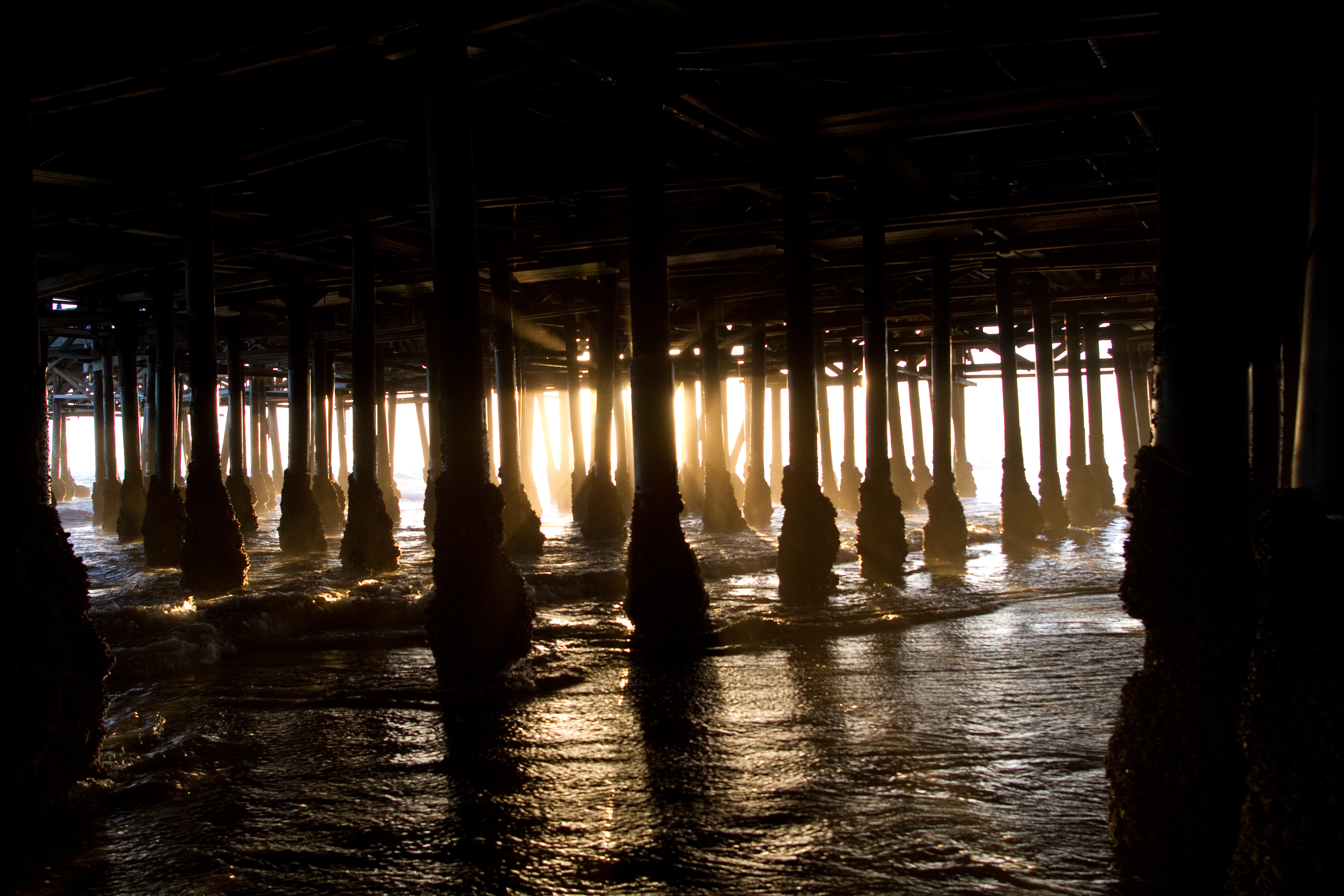
Under the Santa Monica pier
With both of Southern California's biggest cities built around the coast, sea level rise is still a threat, and without good predictions about just how high the sea will rise, civil engineers and city planners are working blind. Predicting sea level rise is a difficult, because we simply have never seen sea level rise at this scale before. We are changing Earth’s climate at a rate unprecedented throughout all of human history.
But not, it turns out, throughout Earth's history. Sea level has risen and fallen on the planet before, we just weren’t around to see it. So when it comes to predicting the effects of modern climate change, scientists often have to act as detectives. We weren’t there to witness these changes. All we can do is look at the evidence left behind, and use it to piece together what happened. That’s where foraminifera come in.
Enter the plankton
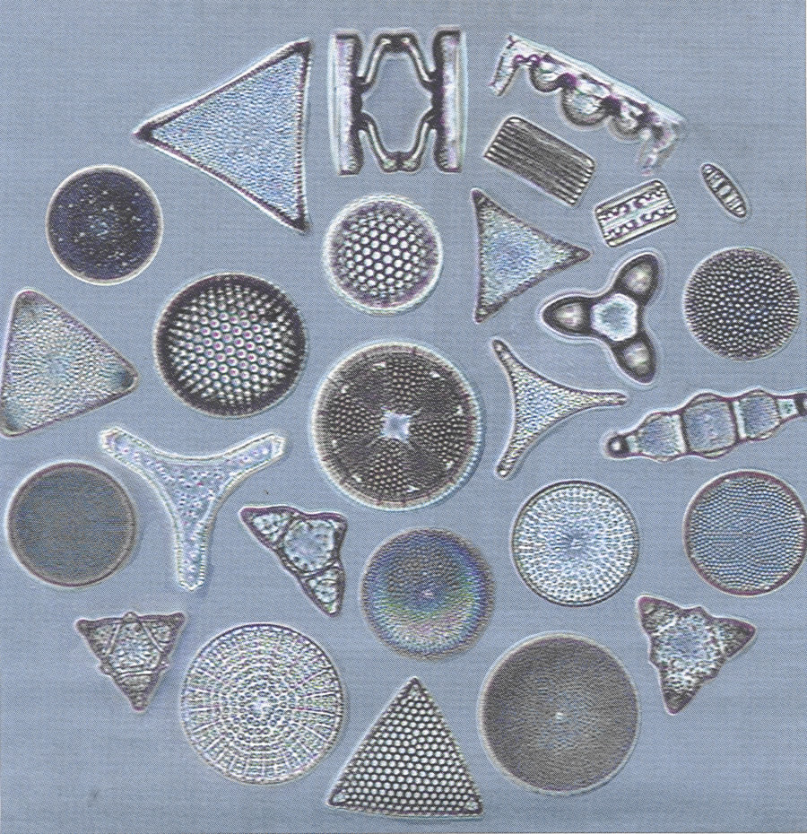
Foraminifera, or "forams" for short, are microscopic plankton that live in the ocean. They create their shells out of a hard mineral called calcite, and they are preserved as fossils long after the organism dies. Because these small creatures live everywhere in the ocean, from the surface of the water to the seafloor, they are some of oceanographers’ most valuable tools for understanding past climates. A group of researchers from UCLA, led by postdoc Simona Avnaim-Katav, think that one kind of forams can tell us how sea level changed in the region in the past – and, therefore, what we might expect in the future.

Needlefish and plankton
Avnaim-Katav looks at forams that live in salt marshes, coastal areas with a pretty dramatic slope, where sea level changes with the tide. In areas like these, different species of foraminifera tend to live at different elevations. They prefer varying light levels, pressures, and salt content, all of which can change with water depth.
In order to understand sea level changes in the region, Avnaim-Katav and her team went out to two salt marshes relatively untouched by human development, one at Seal Beach, California, and the other in the Tijuana River Estuary, in San Diego County. They collected 57 surface sediment samples from different elevations along the coast and looked through each of them to determine which species were living at which elevations.
Census of the sea
From that data, they created what’s known as a species assemblage – a census, basically. They took notes of water depth, temperature, salinity and oxygen, along with a list of which species were living at which sites. Their goal was to create a transfer function, a computer algorithm that could be used to predict water depth based on the species that lived there.
Plankton
It works something like this: if Species A and B like shallow water, and species B and C prefer deep water, we can predict that a sediment sample from 20,000 years ago that contains species B and C must have been in deep water, even if it’s found in shallow water now. This is a common technique for determining sea level changes, and has been used in multiple sites all around the world, but never before in Southern California. In order to create this transfer function, the biggest question that Avnaim-Katav had to answer was whether the forams there were impacted by elevation at all.
Tijuana to Seal Beach
To do this, they had to turn to statistics. They used an impressive collection of statistical tests to see if elevation was the strongest predictor of species assemblage, or whether it was something else, like salinity, pH, temperature, or oxygen concentrations.
At Tijuana, they found what they were hoping to see. Elevation explained 43.2 percent of the differences between species, with the other parameters sharing the remaining 60 percent. At Seal Beach, however, the story was a little different. Elevation in that region only explains about 16 percent of the species differences, with oxygen being the parameter that most affects where species live. However, when the results from the two beaches are combined, elevation comes out on top, allowing them to produce a transfer function that, while not quite perfect, can give us much more information than we currently have.
And as far as this research goes, this is just the beginning. Avnaim-Katav and her team haven’t figured out how sea level has changed, and they still don’t know how drastically the sea level in Southern California will change in the future. But they’ve figured out how to answer those questions. They’ve developed the pathway that will allow them or future researchers to tackle this problem, bringing us one step closer to adapting to sea level change.